
Filter by
SubjectRequired
LanguageRequired
The language used throughout the course, in both instruction and assessments.
Learning ProductRequired
LevelRequired
DurationRequired
SkillsRequired
SubtitlesRequired
EducatorRequired
Explore the QGIS Course Catalog
University of Toronto
Skills you'll gain: Geographic Information Systems, Geospatial Mapping, Data Mapping, Spatial Data Analysis, Data Visualization, Metadata Management, Quantitative Research, Typography, Data Manipulation, Data Modeling, Design Elements And Principles

Yonsei University
Skills you'll gain: Spatial Data Analysis, Geographic Information Systems, Geospatial Mapping, Database Management Systems, Big Data, Apache Hadoop, Data Modeling, PostgreSQL, Network Analysis

University of Toronto
Skills you'll gain: Geographic Information Systems, GIS Software, Spatial Analysis, Spatial Data Analysis, Geospatial Mapping, Query Languages, Data Processing, Data Manipulation, Image Analysis, Data Integration
 Status: New
University of Michigan
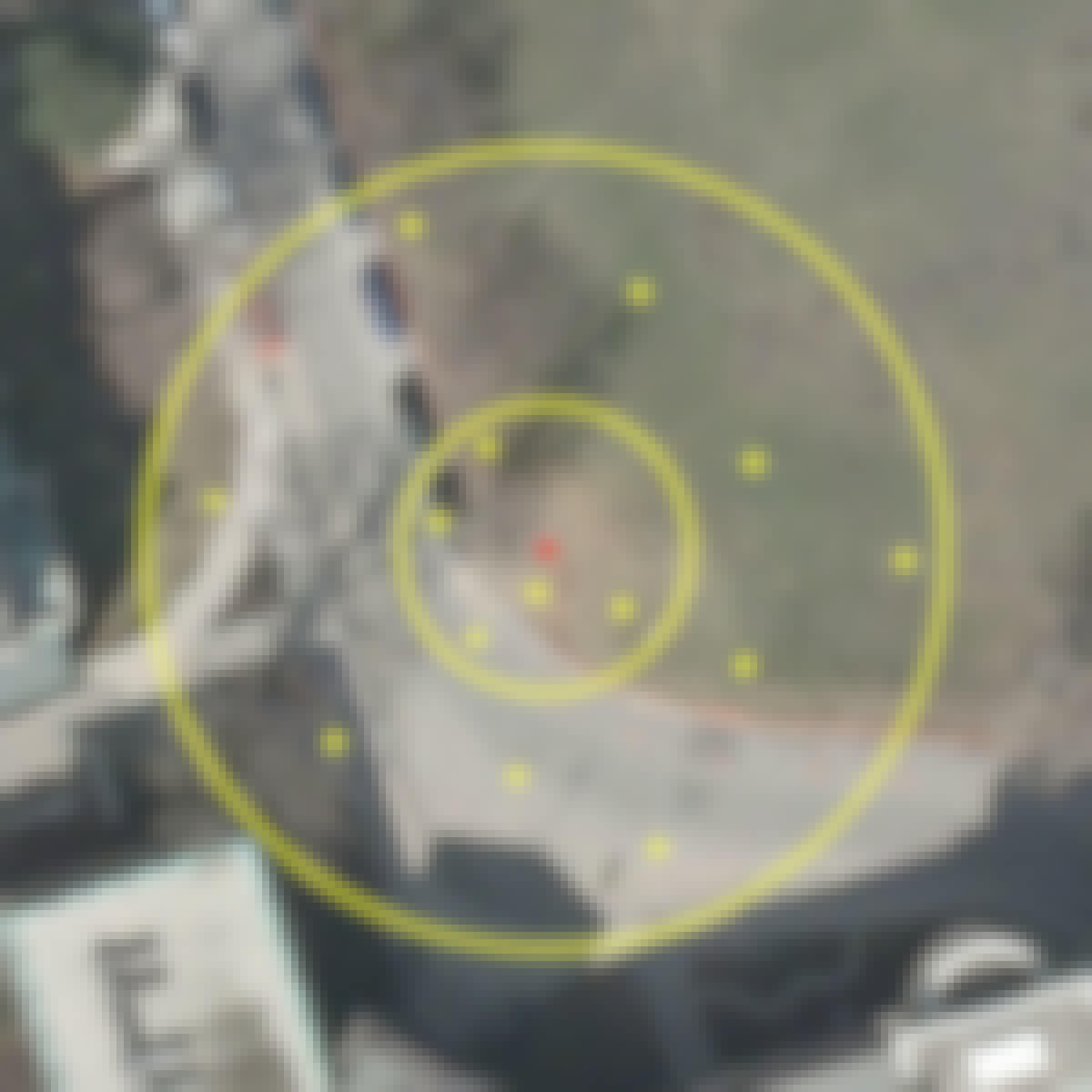
Skills you'll gain: Geographic Information Systems, Geospatial Mapping, Spatial Data Analysis, Datamaps, Spatial Analysis, Data Storytelling, Environmental Monitoring, Heat Maps, Forecasting, Trend Analysis

Skills you'll gain: Feature Engineering, Dimensionality Reduction, Data Integration, Exploratory Data Analysis, Data Visualization, Matlab, Data Processing, Descriptive Statistics, Data Cleansing, Data Manipulation, Histogram, Data Transformation, Text Mining, Predictive Modeling, Unstructured Data, Image Analysis, Natural Language Processing
 Status: Free
Coursera Instructor Network
Skills you'll gain: Geographic Information Systems, Geospatial Information and Technology, Geospatial Mapping, Spatial Data Analysis, Spatial Analysis, Global Positioning Systems

L&T EduTech
Skills you'll gain: Geospatial Mapping, Geospatial Information and Technology, Geographic Information Systems, Construction, Construction Management, Architecture and Construction, Civil and Architectural Engineering, Spatial Analysis, Global Positioning Systems, GIS Software, As-Built Drawings, Survey Creation, Engineering, Scientific, and Technical Instruments, Data Import/Export
 Status: Free
École Polytechnique Fédérale de Lausanne
Skills you'll gain: GIS Software, Spatial Analysis, Geographic Information Systems, Geospatial Mapping, Spatial Data Analysis, Augmented Reality, Data Mapping, Color Theory, Data Processing, Database Management
 Status: Free
The Pennsylvania State University
Skills you'll gain: Geospatial Mapping, Geographic Information Systems, Systems Thinking, Design Thinking, Geospatial Information and Technology, Spatial Analysis, Community Development, Collaborative Software, Environment and Resource Management, Decision Support Systems, Creativity, Cultural Responsiveness

Banco Interamericano de Desarrollo
Skills you'll gain: Failure Analysis, Risk Analysis, Risk Modeling, Risk Management, Project Risk Management, Analysis, Disaster Recovery, Systems Analysis, Vulnerability Assessments, Simulation and Simulation Software, Qualitative Research

University of California, Davis
Skills you'll gain: ArcGIS, Geographic Information Systems, Public Health, Land Management, Geospatial Mapping, Spatial Analysis, Community Health, Emergency Response, Environmental Science, Natural Resource Management, Business Development, Environment and Resource Management, Market Analysis, Risk Mitigation, Supply Chain

University of Michigan
Skills you'll gain: Stored Procedure, PostgreSQL, SQL, Database Management, Database Design, Relational Databases, Query Languages, Data Manipulation, Data Import/Export, Data Integrity, Text Mining, Transaction Processing
In summary, here are 10 of our most popular qgis courses
- GIS Data Acquisition and Map Design: University of Toronto
- Spatial Data Science and Applications: Yonsei University
- Spatial Analysis and Satellite Imagery in a GIS: University of Toronto
- GIS: Geographic Information Systems for Sustainability: University of Michigan
- Data Processing and Feature Engineering with MATLAB: MathWorks
- GIS Mastery: Spatial Data, Remote Sensing, Decision Support: Coursera Instructor Network
- Geospatial Technology for Construction : L&T EduTech
- Systèmes d’Information Géographique - Partie 2: École Polytechnique Fédérale de Lausanne
- Geodesign: Change Your World: The Pennsylvania State University
- Qualitative and Quantitative Analysis of Disaster Risk: Banco Interamericano de Desarrollo


