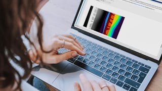
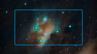
Welcome to Remote Sensing Image Acquisition, Analysis and Applications, in which we explore the nature of imaging the earth's surface from space or from airborne vehicles.


Remote Sensing Image Acquisition, Analysis and Applications

Instructor: John Richards
Access provided by New York State Department of Labor
18,572 already enrolled
(170 reviews)
Recommended experience
Skills you'll gain
- Spatial Data Analysis
- Supervised Learning
- Spatial Analysis
- Deep Learning
- Machine Learning
- Image Analysis
- Applied Machine Learning
- Machine Learning Algorithms
- Geospatial Information and Technology
- Artificial Neural Networks
- Feature Engineering
- Remote Access Systems
- Dimensionality Reduction
- Computer Vision
- Unsupervised Learning
Details to know

Add to your LinkedIn profile
18 assignments
See how employees at top companies are mastering in-demand skills

There are 15 modules in this course
Remote sensing is the science and technology of acquiring images of the earth’s surface from spacecraft, aircraft and drones to aid in the monitoring and management of the natural and built environments. Extensive computer-based analysis techniques are used to extract information from the recorded images in support of applications ranging over many earth and information science disciplines. This course covers the fundamental nature of remote sensing and the platforms and sensor types used. It also provides an in-depth treatment of the computational algorithms employed in image understanding, ranging from the earliest historically important techniques to more recent approaches based on deep learning. The course material is extensively illustrated by examples and commentary on the how the technology is applied in practice. While broad in its coverage the 15 hours of instruction, supported by quizzes and tests, will prepare participants to use the material in their own disciplines and to undertake more detailed study in remote sensing and related topics.
What's included
6 videos4 readings1 assignment
What's included
4 videos1 assignment
What's included
5 videos1 assignment
What's included
4 videos1 assignment
What's included
3 videos1 reading2 assignments
What's included
5 videos2 readings1 assignment
What's included
6 videos1 assignment
What's included
3 videos1 assignment
What's included
5 videos1 assignment
What's included
4 videos1 reading2 assignments
What's included
6 videos2 readings1 assignment
What's included
5 videos1 assignment
What's included
4 videos1 assignment
What's included
4 videos1 assignment
What's included
7 videos1 reading2 assignments
Earn a career certificate
Add this credential to your LinkedIn profile, resume, or CV. Share it on social media and in your performance review.
Instructor

Why people choose Coursera for their career


Learner reviews
170 reviews
- 5 stars
74.11%
- 4 stars
20%
- 3 stars
3.52%
- 2 stars
2.35%
- 1 star
0%
Showing 3 of 170
Reviewed on Jul 11, 2022
Great introduction on the topic of remote sensing! However I think certain topcis are over emphasized.
Reviewed on Jun 13, 2021
The course should add practice exercise for gaining more understanding to the course
Reviewed on Nov 23, 2021
Really enjoyed the learning experience and was very concise!
Explore more from Physical Science and Engineering

Open new doors with Coursera Plus
Unlimited access to 10,000+ world-class courses, hands-on projects, and job-ready certificate programs - all included in your subscription
Advance your career with an online degree
Earn a degree from world-class universities - 100% online
Join over 3,400 global companies that choose Coursera for Business
Upskill your employees to excel in the digital economy


